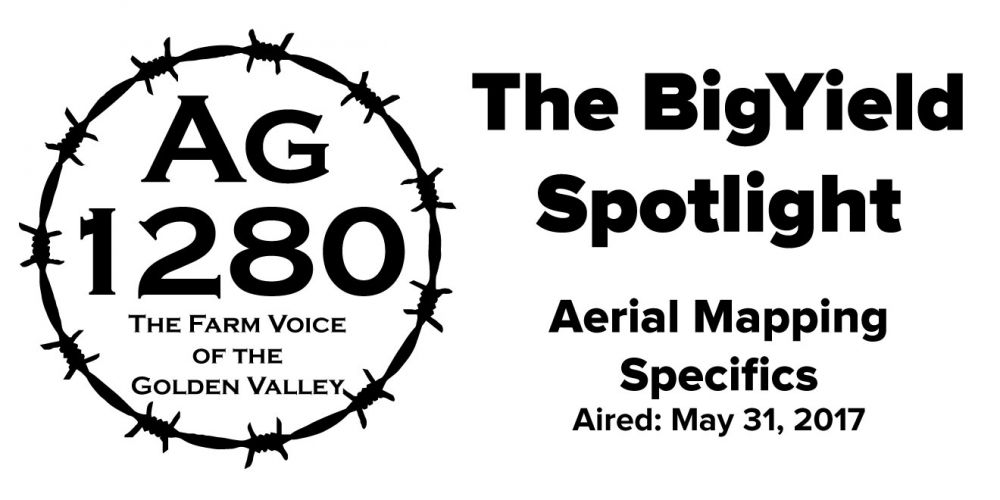
Kent Kauffman goes in-depth on our aerial mapping service.
Listen to Kent Kauffman of the BigYield.us team and Kyle Hill, Ag 1280 Farm Director, each Monday, Wednesday, and Friday on Ag 1280 KDKD-AM. The segments air at 7:15 am and again at 12:15 pm.
This segment originally aired on May 31, 2017.
Audio Transcription
Kyle: Time once again for the BigYield Spotlight. I’m Kyle Hill, at The Farm Research Center operated by BigYield.us outside of Garden City on route 7. Once again I’m visiting with Kent Kauffman, and Kent once again I’m glad to be out here.
Kent: Yeah thanks for coming out.
Kyle: Last time we talked about your aerial mapping service. Let’s refresh everybody on what it is.
Kent: Our aerial mapping service is where we use planes to fly growers fields every 10 to 14 days. We do a total of 12 flights during a growing season. We use four different sensors and what these do is they give growers immediate information about water, disease, and pest issues. Since we’re using planes and not drones we are able cover about 500,000 acres in a day. We have a turnaround time for these services within 24 hours of when we have flow.
Kyle: How is this service different than using drones or satellites?
Kent: Drones and satellites are both really good sources of getting mapping data. Drones are very good for getting high-resolution data, but they can have a steep learning curve for growers or crop consultants. To spend the time to learn how to fly the drone, go out and fly, take all the data and upload all of that data, plus factoring in battery issues, and not being able to cover that many acres, that can all be difficult and time consuming. You can’t cover a lot of acres with that unless you plan ahead quite a bit. Satellites can cover a lot of ground, but you aren’t going to get that same resolution for the data, and if it’s a cloudy day, then you aren’t going to get any mapping until it flies over again. If you get unlucky and get a string of cloudy days, you could not get a map for a month or more.
Kyle: You mentioned that you’re using four different sensors on your planes. What are these sensors?
Kent: Each flight we take four different pictures. We take imagery, colored infrared, NDVI, and we take thermal imagery. Some growers may not be familiar with all of those terms. Basically what it means that you will get a normal high-resolution color image. With this image, you can get high enough resolution to see a wheel on a pivot. You get pretty good resolution to see your crops with that. You can see your stands and if you need to do replants and things like that. We also get infrared. This expands the spectrum past what your eyes can see. You get a little more detail, and you can see more of what’s going on. Same thing with NDVI. This is normalized difference vegetation index. You don’t need to remember that. All you need to remember is NDVI is how healthy your chlorophyll is and how healthy your plants are. If you can see that, then it really tells you what is going on with your plants. Thermal is your heat signature of everything that is going on.
Kyle: How does all of this information help growers out?
Kent: The normal imagery, farmers are used to this. It gives farmers a great overview of their fields so they can see what is going on. The infrared and NDVI helps you see disease and pest problems days and even weeks before you can see them visually in crops, that way you can get to these issues immediately. Thermal will show any drainage issues immediately from that heat signature. Especially issues with pivots, tilling, sub-surface irrigation, or if your tiling is off. Anything in your field that you want to see if it is draining well you can see with thermal. It’s also going to show you leaf damage from pests. If you’re getting a lot more sunlight going through your field because pests are eating your leafs, that will show up immediately with thermal imagery.
Kyle: How does this benefit a farmers cash flow.
Kent: It cash flows because you can spot small problems before they become large problems. That is where you pay a lot of money is your large problems. Using these sensors we have spotted several blocked nozzles on a center-pivot over a month before you could visually see the damage. Once you see that damage from that lack of water, it’s too late to fix it. You’re going to lose yield on that and it’s going to hurt. We have spotted insect pressure before it hit economic threshold and localized it in the field and caught it early. Because we caught it early, we had less damage from it, and we could also localize where we needed to spray. Spraying 15 acres in a 340 acre field is much more economical than spraying the entire 340 acre field because you saw a problem. You can see that without walking the field. You spot an issue and localize it from this imagery. After only a couple bushels, this service will pay for itself. It’s a very low cost service and very useful for spotting issues.
Kyle: We’re talking about the aerial mapping service available from BigYield.us, out here on the farm outside of Garden City. Kent, how can they get ahold of you to talk about this and other products BigYield has available.
Kent: If farmers are interested in our aerial mapping service they can check out our website, www.BigYield.us. They can give us a call at 816-773-6096 or stop by the research farm like Kyle has today. We’re off of 7 highway just west of Garden City. You will see giant signs that say “The Farm Research Center.” We will be glad to show you around.
Kyle: Kent glad to hear your perspective again on this and other products available from BigYield.us. Looking forward to our next visit.
Kent: Thank you Kyle.